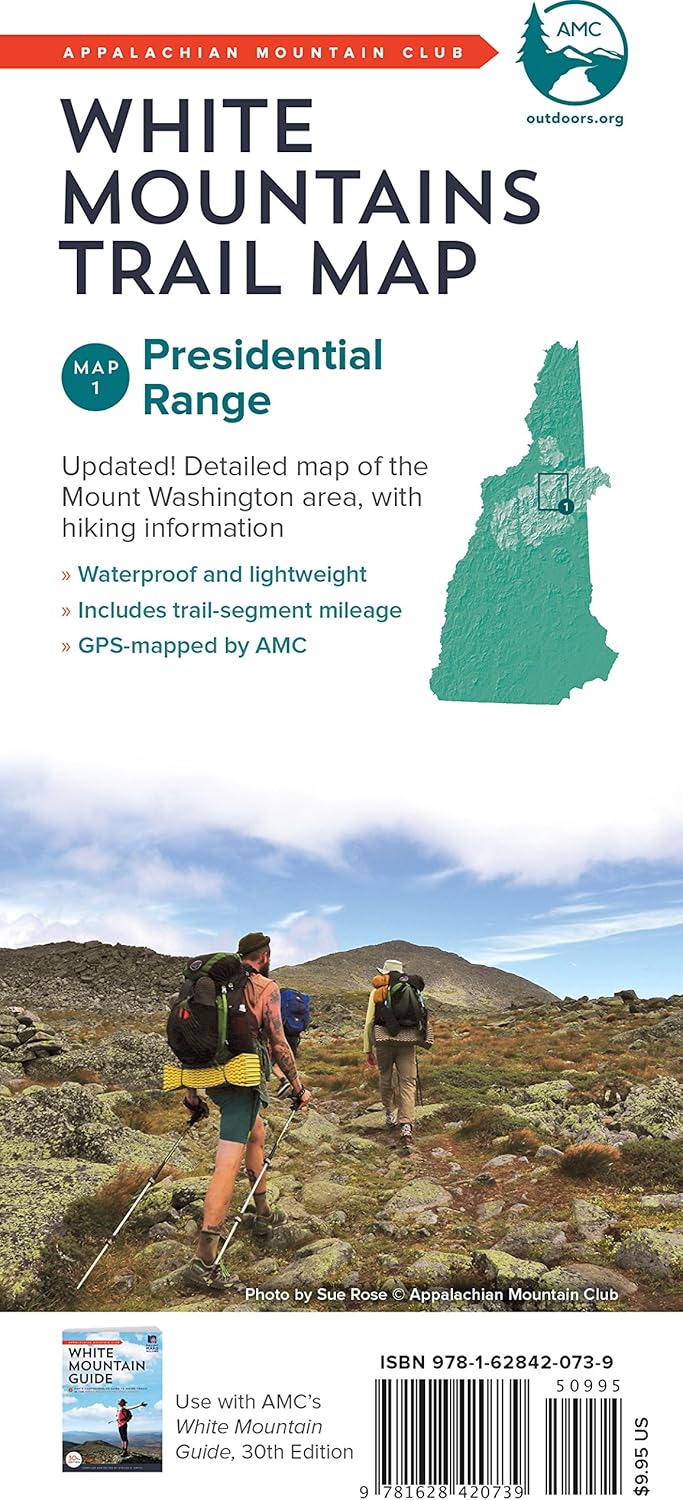
The AMC White Mountains Trail Map 1: Presidential Range is an essential resource for hikers and outdoor enthusiasts exploring the iconic Presidential Range in New Hampshire’s White Mountains. This detailed and durable map, produced by the Appalachian Mountain Club, provides accurate topographic information, trail routes, and points of interest for popular hiking destinations such as Mount Washington, Mount Adams, and Mount Jefferson.
Featuring a scale of 1:25,000, this map offers detailed coverage of the entire Presidential Range, including elevations, water sources, shelters, and campgrounds. The map is printed on waterproof and tear-resistant paper, ensuring its durability in rugged outdoor conditions. Whether you’re planning a day hike or a multi-day trek, the AMC White Mountains Trail Map 1: Presidential Range is a valuable tool for navigating the diverse terrain of this stunning mountain range.
Pick up your copy of the AMC White Mountains Trail Map 1: Presidential Range and embark on your next adventure in the White Mountains with confidence and clarity.


Reviews
There are no reviews yet.